The recommended route is via Nelspruit / Komatipoort, and then through the border control post. From the border to Maputo is about 90 km's. As you enter Maputo you will pass a large BP Service Station. Turn left at the next major intersection with Traffic lights to Xai-Xai.
From Maputo you take the EN 1 national road north. You pass through Xai-Xai ( 230 km's), then onto Maxixe ( 220 km's). About 250 km's north of Maxixe you turn right to Vilanculos. This turn off is well sign posted and the road is tarred all the way from Maputo. From this turn off it is about 20 km's to Vilanculos.
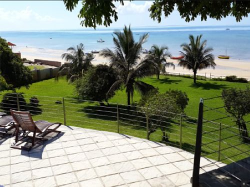
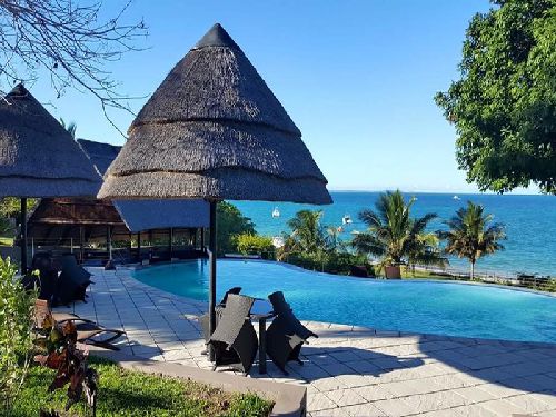
Once into Vilanculos you drive through until you pass a BP Service Station on your left, and at the T junction turn left and follow the signs to Aguia Negra. It is about 10 minutes from this point to the lodge.